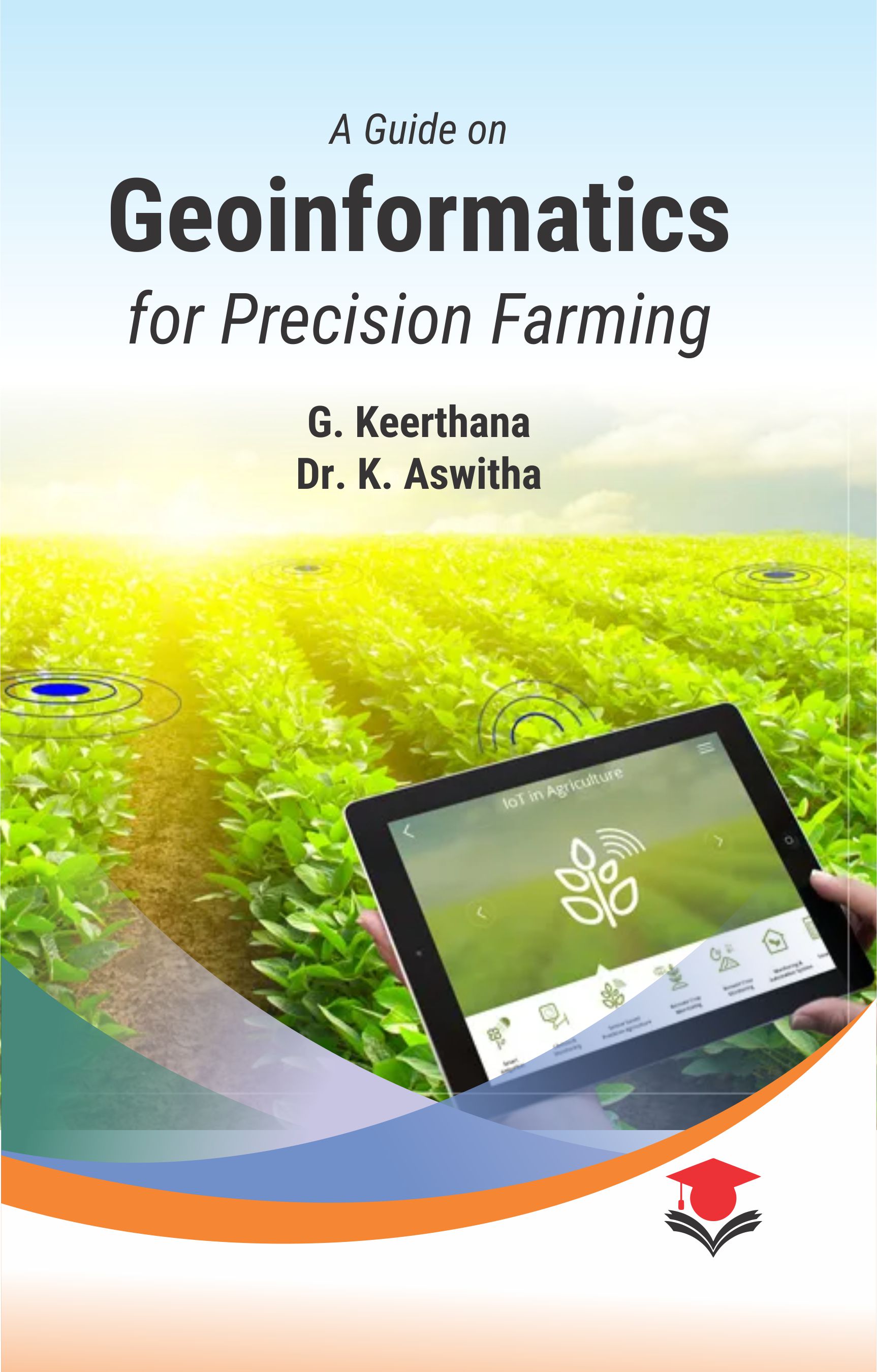
A Guide On Geoinformatics For Precision Farming NEW
Availability:
In stock
Paper Back
ISBN: 9788196913748
Publishing Year: 2024
ebooks
ISBN: ABI-473
Publishing Year:
Hard Bond
ISBN: 9788196913779
Publishing Year: 2025
The book Geoinformatics for Precision Farming has been designed in easy, clear, simple and appropriate way which covers maximum of chapters in Remote sensing for under graduate degree programme and competitive examinations. The most simplified form in this book has been taken from various standard books, previously asked repeated questions in exams, students and teachers. It stands as a final touch to scan the chapters of Remote sensing in Agriculture before a minute to examination.
Recognizing the rigorous demands and specific requirements of competitive exams, this book is structured to be concise, focused, and directly aligned with the syllabi and patterns commonly encountered in examinations of TNAU, ICAR, JRF, SRF, NET, ASRB and SAUs entrance. Emphasis has been placed on clarity, precision, and the inclusion of linear points and subjective type questions with answers for exam preparation. The need of 'Geoinformatics for Precision Farming' is to revise all the contents in TNAU RSG 101 (1+0) syllabus which included 5 units of Remote sensing, Geographic Information System (GIS), Geodesy, Precision Agriculture and Crop discrimination & models. Each of chapter included various types of one liner points in crispy form and subjective type questions along with answers which may help the students to face the final theory exams and other competitive examinations with great confidence of all the chapters of Remote Sensing.
Dr. Keerthana G
555SECTION I. Concepts
- Remote Sensing Concepts and Electromagnetic Radiation
- Platforms and Sensors
- Elements of Visual Photo/Image Interpretation
- Digital Image Processing
- GIS: Definition and Components and Functions
- Data Models
- Raster Data Analysis
- Vector Data Analysis
SECTION II. Brief Notes
- Remote Sensing Concepts
- Platforms and Sensors
- Elements of Visual Photo / Image Interpretation
- Digital Image Processing
- Geographic Information System (GIS)
- Data Models
- Raster Data Analysis
- Vector Data Analysis
- Geodesy and its Basic Principles
- Global Positioning System
- Precision Agriculture
- Variable Rate Technology
- Crop Discrimination and Yield Monitoring using Remote Sensing
- Soil Mapping: Fertilizer Recommendation using Geospatial Technologies
- Crop Simulation Models
- Drones for Precision Agriculture
Book Details
A Guide On Geoinformatics For Precision Farming NEW
TEXTBOOK
0
0
0
DEMY (5.5X8.5)
0 Gms
All Rights Reserved
M/s Student Press
UG STUDENTS |


